Kawangware
is one of Nairobi's lower-end residential areas. Kawangware covers about 10
square kilometres, and is rather densely populated. The region has also
developed into a thriving commercial area.
In terms
of location, Kawangware is roughly bordered to the north by Kangemi, to the
east by Lavington, to the south by Riruta-Satellite, and to the west by Kabete
and Dagoretti.
Kawangware,
which is informally referred to as 'ungwaro', in sheng (slang), is broadly
divided into two main sections - Kawangware 46 and Kawangware 56. Kawangware 46
is so-named after the public transport route that traverses the area. This is
the general area that begins at 'Congo' (the junction of Gitanga Road and
Macharia Road) and runs all the way to 'BP' area (the junction of Gitanga Road
and Naivasha Road, near Precious Blood School, Riruta).

The junction of Naivasha Road and Gitanga Road, found at the 'BP' area, located at the border of Kawangware and Riruta
Some of
the villages that make up Kawangware '46' include 'Coast' (so-named after a
butchery there that was known as Coast Butchery), and Msalaba. Kawangware
Primary School, that was renowned for its prowess in drama, and the Kawangware
market are also located in the '46' vicinity. The Kenya Bus Service Management
has got a garage and overnight terminus at the end of '46', near Precious Blood
School.

The gate of Kawangware Primary School
Kawangware
'56', on its part, is named after the public service route serving the area.
'56' is the general area that starts at 'Congo' and goes all the way to
Kanungaga, not far from the valley that forms the border with Kangemi.
Kanungaga is the terminus of bus route 56.
'Congo',
which is at the border between Kawangware and Lavington, has for many years
been known for its numerous Busaa drinking dens complete with traditional
isukuti music players. Many years ago, I used to see the ingredients of the
Luhya traditional beer being roasted on large metallic trays over wood fires. One
could also see groups of men seated in and around the dens, enjoying the
porridge-like brew. Some of the revelers who were overcome by the intoxicating
effects of the beer could be seen dancing merrily by the roadside.

A section of Kawangware '56' near 'Congo'
Some of
the 'villages' forming Kawangware '56' include Kabiro, Stage 2, and Kanungaga.
Kanungaga area was made famous by prophetess Mary Akatsa who has her church
there. If I remember well, the church was known as New Jerusalem. In 1988, at
the height of her ministry, she claimed that Jesus Christ had visited one of
her church services. I remember seeing a picture of the so-called Jesus and
thinking to myself that he looked more Indian than Jewish. But, at the time,
'Dada Mary' (as Akatsa was popularly known) was a huge sensation, and not many
in the area dared question the authenticity of this Jesus. Pictures of the man
were printed and sold to church members as well as interested area residents.
Other
outlying areas that are part of Kawangware '56' include Kamitha and Gatina
which border Lavington, as well as Muslim, which stretches all the way to the
route 46 bus terminus.

A section of Muslim area in Kawangware

A stretch of Gitanga Road, at the terminus of bus route 46
Besides
Kawangware '46' and Kawangware '56', the areas on both sides of Naivasha Road,
beginning at Deliverance Church, Riruta, all the way to the Precious Blood
School area, are also considered as part of Kawangware. Included in this
stretch are areas such as 'Ciugu-ini', Kawangware market, and 'BP'. 'BP' was so
named after the Shell petrol station there, which was formerly a BP franchise
service station.
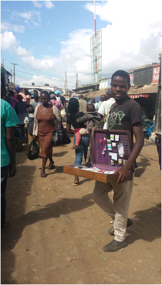
Activity at the Kawangware Market
The land
in Kawangware is mostly owned by members of the Kikuyu ethnic community, who
are indigenous to the area. Most residents of Kawangware '56' are members of
the Luhya community, who hail from Western Kenya. They reside here as tenants
in the many housing estates owned by Kikuyu landlords. The Luhya population in
'56' is significant, such that bus companies serving western Kenya have opened
booking offices here.
Kawangware
'46', on its part, is a little more cosmopolitan. Many of the Kikuyu landlords
have also remained on their land in the '46' area, living next to the rental
flats they build.
Public
transport is somewhat equally owned between members of the Kikuyu and the Kisii
ethnic communities. Kisii matatu owners have largely concentrated on the '56'
route while majority of the Kikuyu ply '46'.
Kawangware
is an intensely religious area, and is dotted with numerous churches. Among the
leading denominations here are the Anglican Church, Redeemed Gospel Church,
Full Gospel Church, and Deliverance Church. Others include the Free Pentecostal
Church and the Orthodox Church. Of note is the fact that Kawangware is replete
with indigenous African churches. The most common of these is the African
Divine Church (ADC) whose members hold large processions along the road on
Sundays. They will be seen in their white robes, prayer caps, and headscarves,
singing and dancing to the music of drums and triangles. At the head of the
procession is always the person bearing the denomination's flag.
Interestingly,
Kawangware, though in Nairobi County, is part of the Dagoretti North electoral
constituency.
-The End-
